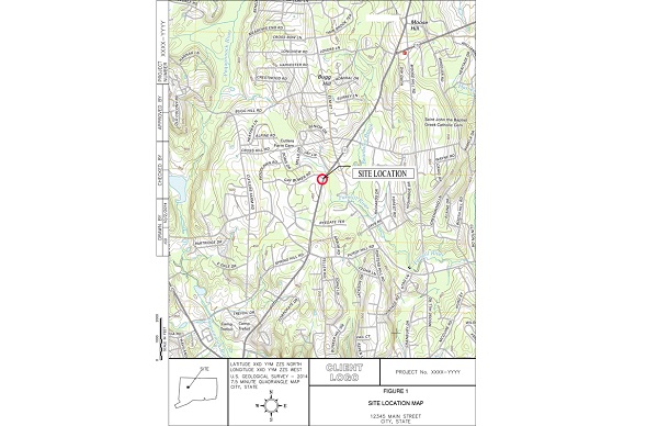
Site Location Maps
Site Location Maps / Site Topgraphic Maps are part of Environmental Site Assessment reports (Phase I / Phase II ESAs). They’re also required for site remediation and site monitoring reports. Site Location Maps are usually based on a USGS 7.5 minute quadrangle topographic maps, aerial images, state GIS database files or AutoCAD figures.
All figure requests are made in our cloud-based work management system on a fixed-price basis, and figures are completed within 7 days.